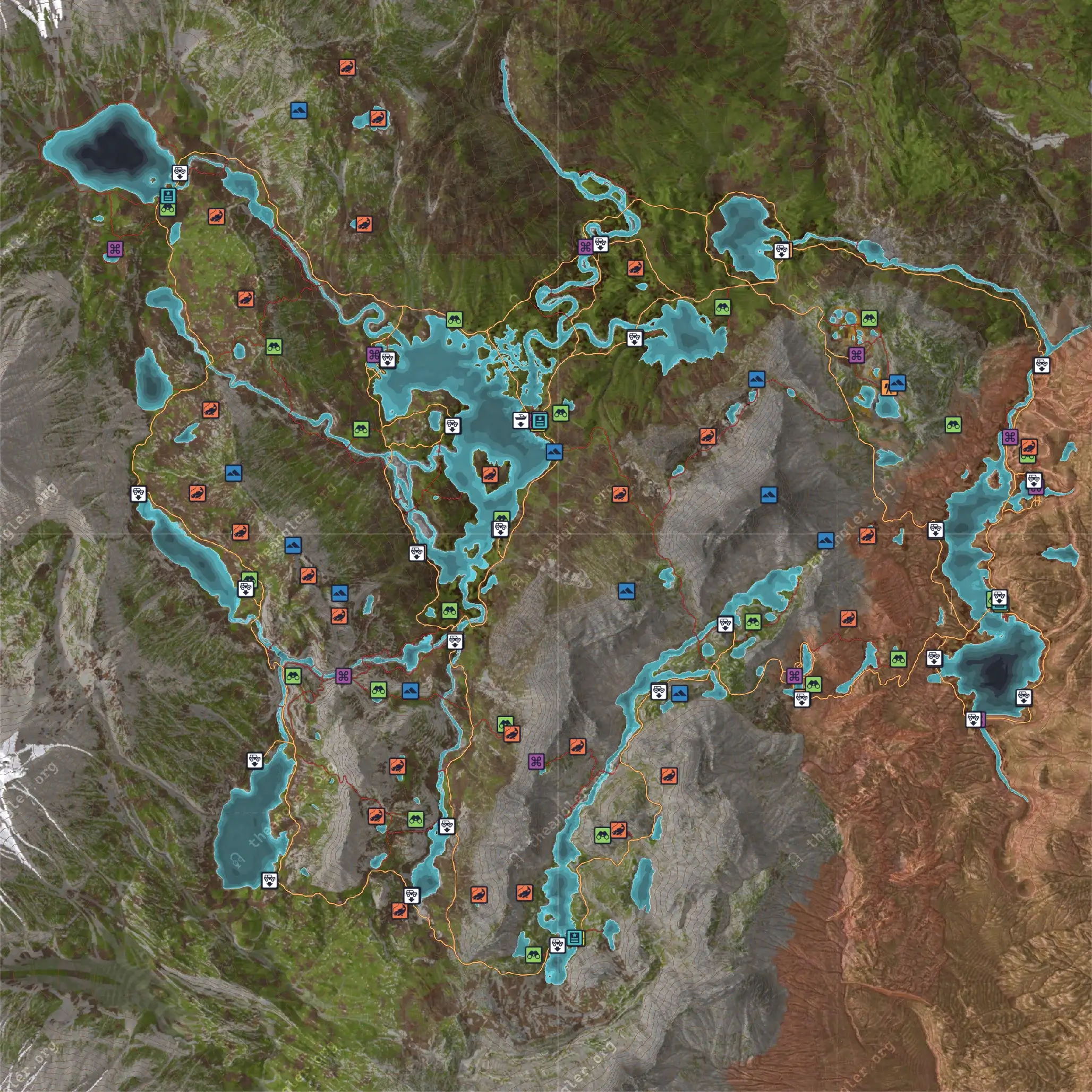
COTW high resolution maps for Golden Ridge Reserve are now up on the wiki. These are 2000×2000 pixel maps.
Maps are exported in a few different versions: as a full map with all known locations and individual maps for Trailheads, Lookout Towers, Vistas, Points of Interest and Waterways (Waterbodies/fish locations).
Please note that, as these are manually created maps, all locations have been manually added on the maps so they might be a few pixels off from what you find. It’s imperceptible to the normal user, but they will be slightly off.
To view each map at full resolution, simply click or tap on each image in the reserve page and these will open in a new tab/window where you can pinch and zoom or save them to the device.
The next reserve on the list will be Izilo Zasendulo. These maps are exported and ready to be listed on the wiki.


[…] High Resolution Maps for Golden Ridge ReserveHigh Resolution Maps for Izilo ZasenduloHigh Resolution Maps for Trollsporet Nature Reserve […]