It’s been a while since the last post on the The Angler Wiki, but that doesn’t mean there haven’t been any changes happening in the background. There are a few updates I’ve been doing to give a better experience to the users of the wiki. The most significant one is the launch of The Angler App with Interactive Maps.
Page content updates
A few pages such as the Home page, the Fish Species page and the Legendary Fish page have been updated to look better and provide more relevant information. There are still some updates coming up so expect slight changes to these and more pages.
The home page now shows useful videos from bigfatllama YouTube channel. This is one of the best YouTube channel for both The Angler and The Hunter COTW games, so be sure to subscribe to his channel.
Hook size charts units & sorting
The hook size charts have been tweaked to allow for sorting and change of units. Now you can select the units to display the weight (lb – imperial or kg – metric) by clicking the appropriate units of measurement link in the table caption.
Similarly you can now sort the tables by species name or maximum weight (maximum weight refers to the absolute maximum weight for the diamond catch).
Please note that any sorting or units of measurement changes will apply for all the tables (and should be valid for the entire session of your visit).

Kamuibetsu National Park (Japan) High Resolution Maps
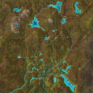
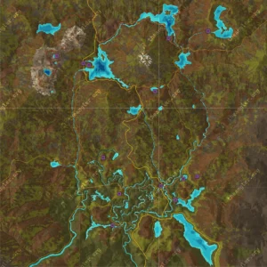
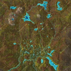
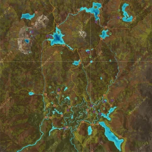
High resolution maps for Kamuibetsu National Park with all the locations have been created and added to the wiki. These were created in the same way as the others have been. The following maps were created for the Japan Reserve:
Launching The Angler App
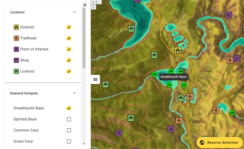
The Angler App has now been launched. At the moment it only contains interactive maps for each reserve, but I’m working on getting more functionality into it. It’s still in BETA, so I could do with as much feedback as possible.
The Angler App Interactive Maps
All the reserves that are in game at the moment of this post have interactive maps with all location discovered. You can go to these by using the links below and you can switch between them by using the “Reserve Selection” menu in the bottom right of the screen.
- Golden Ridge Reserve Interactive Map
- Trollsporet Nature Reserve Interactive Map
- Aguas Claras Municipio Interactive Map
- Izilo Zasendulo Interactive Map
- Kamuibetsu National Park Interactive Map
The Angler App is still in beta so functionality is likely to change significantly as updates are rolled out.
Locations and Fish Hotspots
As mentioned, the interactive maps contain all the in-game locations as well as hotspots for each fish species as well as for legendary fish. You can toggle these on or off by using the side panel in the app.
Fish diamond hot spot locations are a mix of the locations seen in the Resource Spreadsheets, research from YouTube posts and personal catches. These are currently static and manually updated. If you have any suggestions feel free to contact me and I will update them where appropriate.
Other functionality
A few other worthy mentions of the current functionality of the app:
Mobile Support
This should work fine on mobile devices such as smartphones & tablets, but it’s built with “desktop” in mind, so might not be very well optimised for very small screens or low range devices.
Interactivity
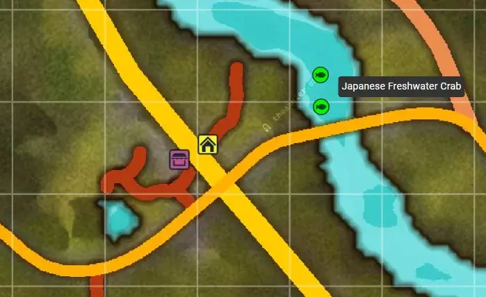
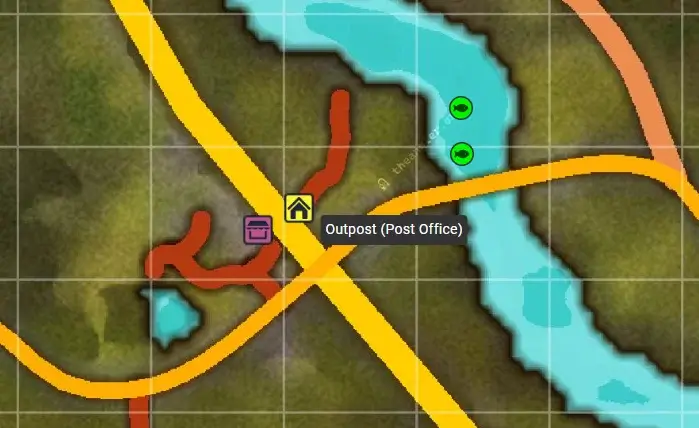
As they are “interactive maps”, you can obviously interact with the map in a basic way (for now). Hovering over a location will reveal it’s title or the fish species name.
Link Sharing

As you move around the map you may notice that the link address gets updated with the map parameters. You can share this or bookmark it for future use and it will open the same map view. Right now there is no center crosshair to show the location but this is coming soon.
